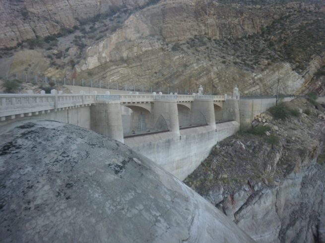
Coolidge Dam


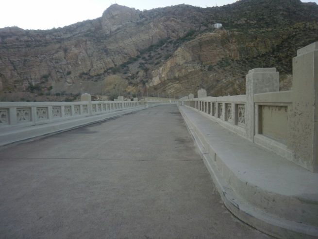
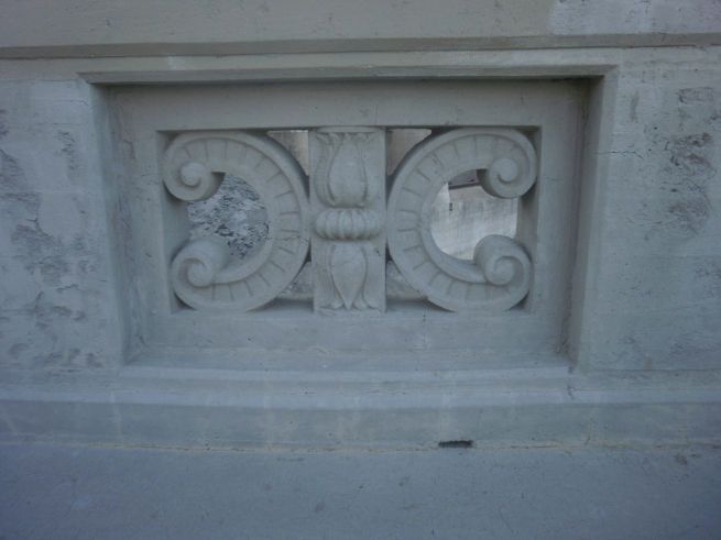
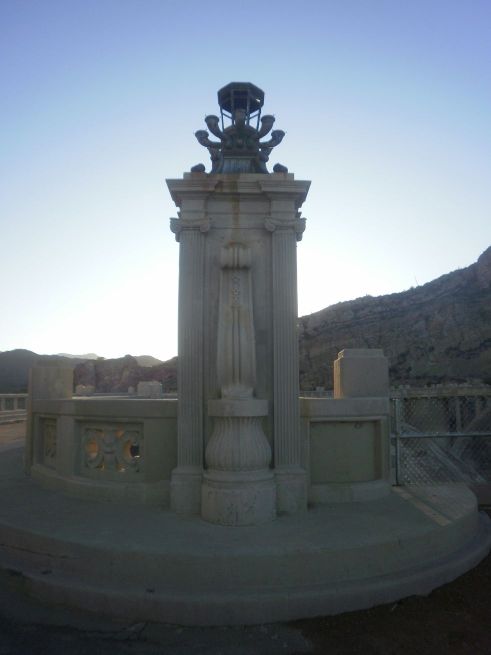
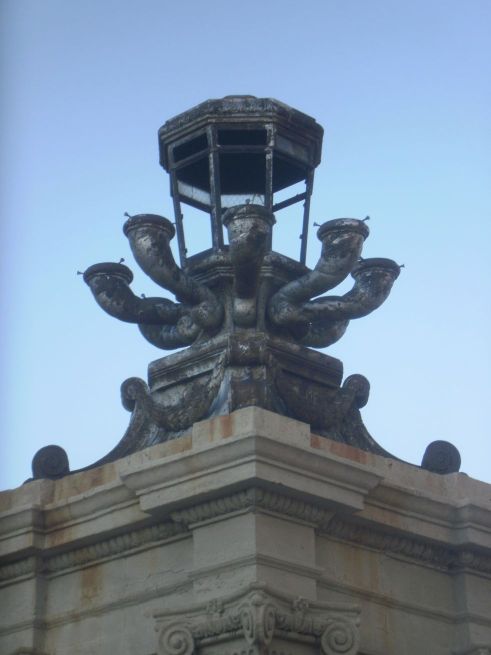
I wouldn't have thought of myself as an infrastructure geek but I do find it fascinating, especially when functional items are also decorative.

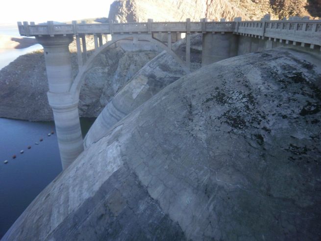
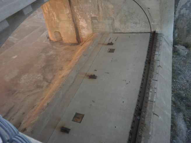
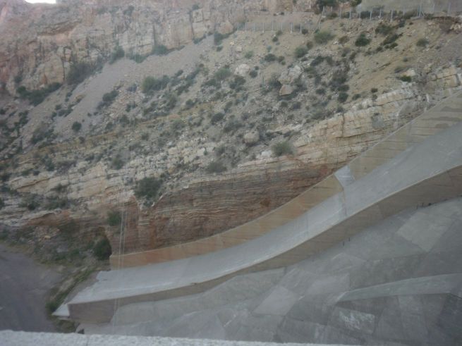
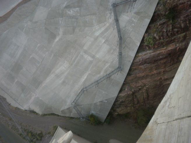
Coolidge Dam is located on the San Carlos Apache Indian Reservation, southeast of Globe, just outside of the little community of Peridot. It is a multiple dome and buttress dam defined by Geoengineer.org as:

Buttress Dam consists of a watertight upstream side, usually reinforced concrete, supported by triangular-shaped walls, called buttresses on the downstream side. This kind of dam uses less concrete compared to a gravity dam due to the space between the buttresses. A buttress dam’s stability relies on the bracing action from the buttress where most of the load is concentrated. Buttress Dams are suited to sites with either wide or narrow valleys but, like gravity dams, it is necessary that they are built on a solid foundation of bedrock.

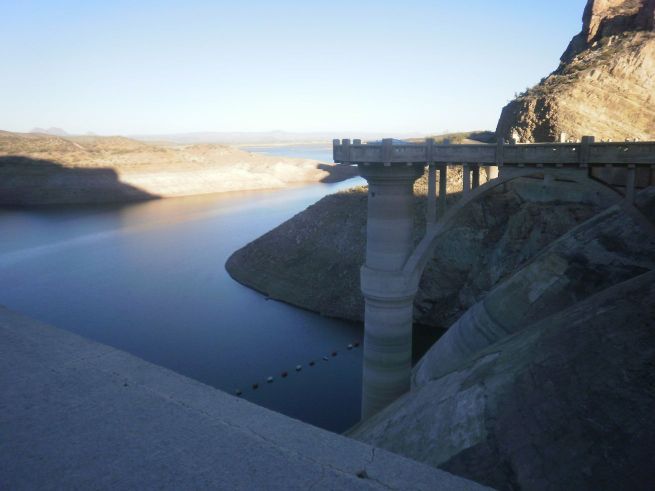
The dam, which was named after President Calvin Coolidge, was built between 1924-1928 and dedicated in 1930. Its intended purpose was to provide water for the farmers in the Gila River area, both on the Gila River Reservation and off of it.

I visited the dam in 2011 when the water levels were fairly high. The American Southwest has been experiencing an ongoing drought for the last couple of decades. I've read that at one point the lake almost completely dried up, leaving only a small pool of stagnant water at the base of the dam. However, this past winter we've had quite a lot of rain and I have read that the reservoir has started filling back up although not, I suspect, as much as it was in 2011.

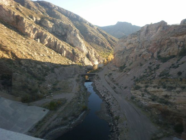
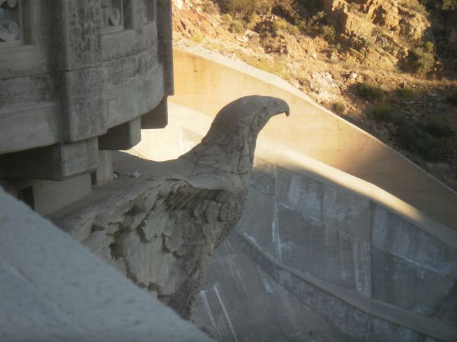
A lot of these pictures are in shadow because it was late in the day when I was there.


Roadway going across the top of the dam.

road on top of Coolidge Dam

Looking across the top of the dam.

looking across the top of the dam

San Carlos Lake. Since the primary purpose of the dam is for irrigation the lake levels are variable. Even without drought conditions, usage sometimes causes the water levels to drop enough that fish aren't able to survive. When levels are higher, though, the lake is stocked with sunfish, largemouth bass, black crappie, Channel and flathead catfish. The lake also offers recreation opportunities such as jet skiing, water skiing and boating.

road on top of Coolidge Dam

Gila River. The Gila River is a 649 mile/1,044 km tributary of the Colorado River which flows through both Arizona and New Mexico. In the past it was a perennial river which could be traveled by some form of boat down to the Mexican border. However, due to diversions for both farming and municipal water use, starting from Phoenix the river is usually dry or, at most, a trickle.

Gila River

Domes of the Coolidge Dam.

Coolidge Dam domes

Letter "C" monogram on the dam bridge.

Letter C monogram

Decorative eagle figure on the dam. I love that the architects included embellishments such as the monogram above and this eagle. There's no reason infrastructure can't be both beautiful and functional.

decorative eagle figure on the dam

Lamp post. Another example of functional beauty. Well, it was functional at one point. I don't believe these are currently in use.
lamp post

Lamp at entrance to bridge road. I wonder if the lamp was the only lit part or if maybe the octopus appendages were also lit up somehow. I've tried Googling but I can't find any images of the dam at night.

bridge lamp

Coolidge Dam spill way.

spillway

Spillway off to the side

spillway

Stairs leading down the side of the dam. The picture is a little bit crooked because I was leaning over the side of the bridge to get this picture.

stairs leading down the side of the dam

Here are some links to sites with more information on the dam and the Gila River.


back to the top of the page